|
| *****SWAAG_ID***** | 939 |
| Date Entered | 08/08/2016 |
| Updated on | 11/08/2016 |
| Recorded by | Tim Laurie |
| Category | Photographic Record |
| Record Type | Archaeology |
| Site Access | Public Access Land |
| Record Date | 03/08/2016 |
| Location | Scargill Moor. A walk to the Roman Shrines at Ellerbeck. |
| Civil Parish | Scargill |
| Brit. National Grid | NY 995 106 |
| Altitude | 365m |
| Geology | Glacial drift over Namurian strata of the Main Chert series. |
| Record Name | A walk to the Roman Shrines at Ellerbeck across Gilmonby and Scargill Moors |
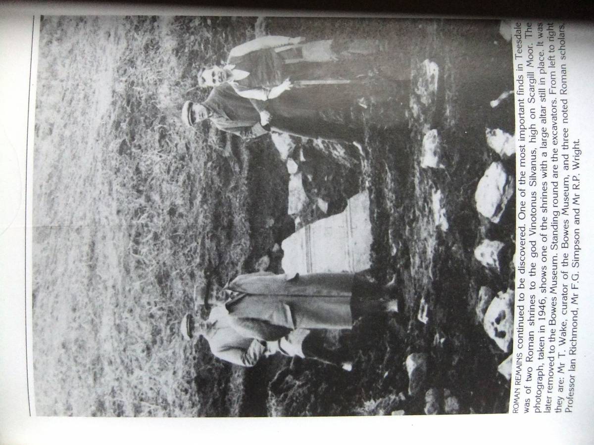
| Record Description | This record is a general photographic record of a walk to Ellerbeck and the location of the Roman Shrines (recently destroyed by floods. This walk is not an easy approach to Ellerbeck. The walk commences at the cattle grid (roadside parking available) at West Plantation on the Gilmonby to Sleightholme Road. Follow the bridleway over High Green Fell, then the slight path beside the Moor Edge Wall to Pinlow Hill. After passing through the wall, walk along Eller Beck Rigg to see Ellerbeck Lead MIne and Hush then down to Eller Beck Spring and the location of the Roman shrines on the western bank of the tributary stream at NY995106. One of the two shrines at Ellerbeck under excavation in 1946 is shown on Figure 10 below. Reference:'Teesdale in Old Photographs, Page 159, collected by The Late Dennis Coggins'. Alan Sutton Publishing. The scholars present (Left to right) include Mr T.Wake, Curator The Bowes Museum, Professor Ian Richmond, Mr F.G. Simpson and Mr R.P. Wright. The return can include a walk downstream from the shrines before climbing to Pinlow Hill where you can search and find the cup marked rock seen on the photo images below. Follow the outward path along the wall back to High Green Fell, but return by the track through West Plantation after viewing the interesting outcrops of the Main Chert strata at the accurately named Chert Gill. |
| Dimensions | See photos. |
| Additional Notes | Image no was included by the Late Dennis Coggins'in his 'Teesdale in Old Photographs'. This photograph shows the excavation of one of the two roman shrines dedicated to the god Sylvanus taken during the excavations of the Roman Shrines by Professor Sir Ian Richmond during 1946.
The two large altars discovered during these excavations can be seen in the Bowes Museum. A third small altar was discovered subsequently by a visitor to Teesdale in the bed of Eller Beck having been washed out during one of the two great floods which destroyed the remains of the shrines. The visitor complained to Dennis Coggins on the dire state of the shrines and the shame that the small altar been thrown by vandals into the beck.
Dennis knew that the two altars then known were safe in the Museum and this must be a third unrecorded altar. Dennis walked to the shrines himself and removed the additional unrecorded altar from the bed of the Beck on the bank out of reach of floods.
A few days later and immediately after the second vast flood which totally destroyed the shrines I accompanied Dennis to the site of the shrines and assisted him in carrying the small altar to his land rover. |
| Image 1 ID | 6828 Click image to enlarge |
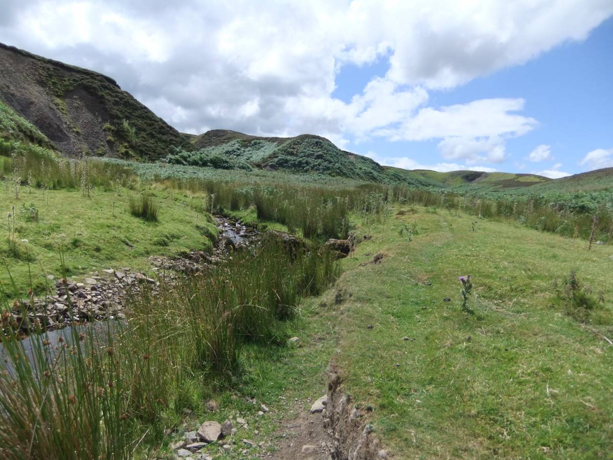
| Image 1 Description | Ellerbeck. The two roman shrines were located some 70m upstream on the RH bank of the tributary stream to Ellerbeck seen in the mid distance | 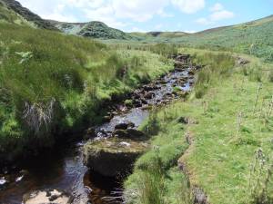 |
| Image 2 ID | 6825 Click image to enlarge |
| Image 2 Description | | 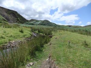 |
| Image 3 ID | 6824 Click image to enlarge |
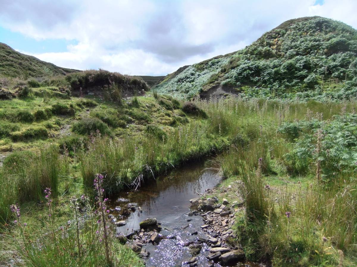
| Image 3 Description | The small tributary stream on which the shrines were located. |  |
| Image 4 ID | 6826 Click image to enlarge |
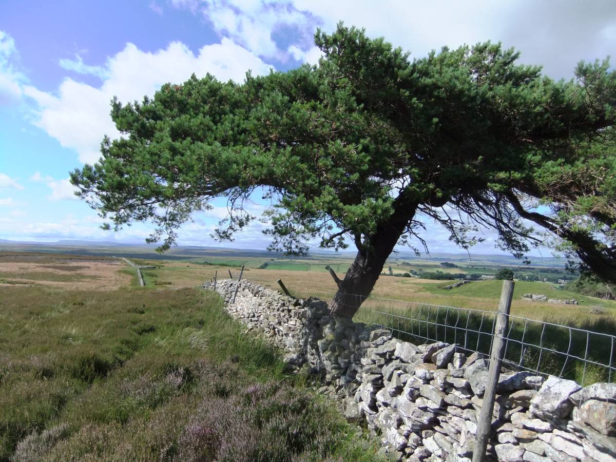
| Image 4 Description | Scots Pine at the strangely named Hong Kong Plantation |  |
| Image 5 ID | 6827 Click image to enlarge |
| Image 5 Description | View northward across Stainmore from Hong Kong Plantation |  |
| Image 6 ID | 6834 Click image to enlarge |
| Image 6 Description | Heather in flower at the moor wall, the first this season. | 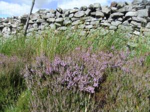 |
| Image 7 ID | 6830 Click image to enlarge |
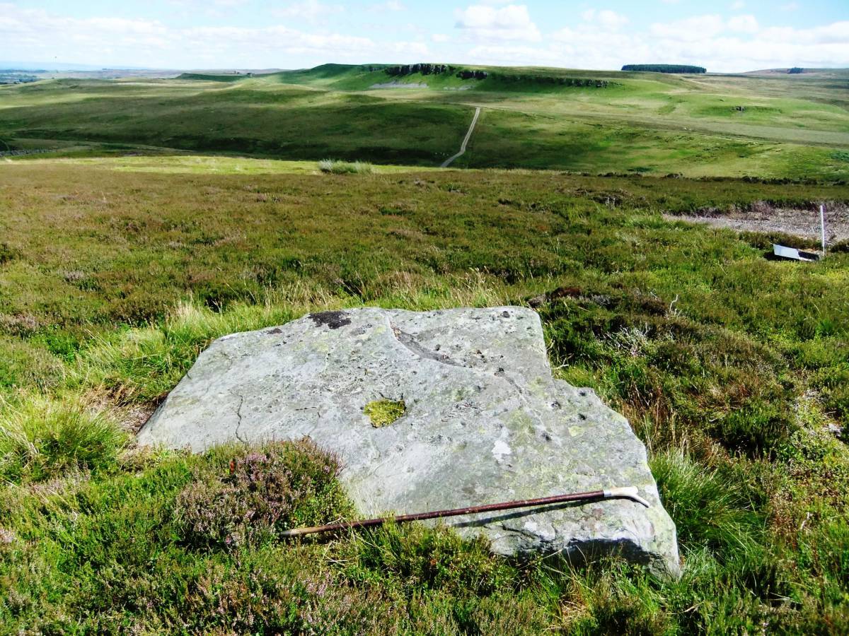
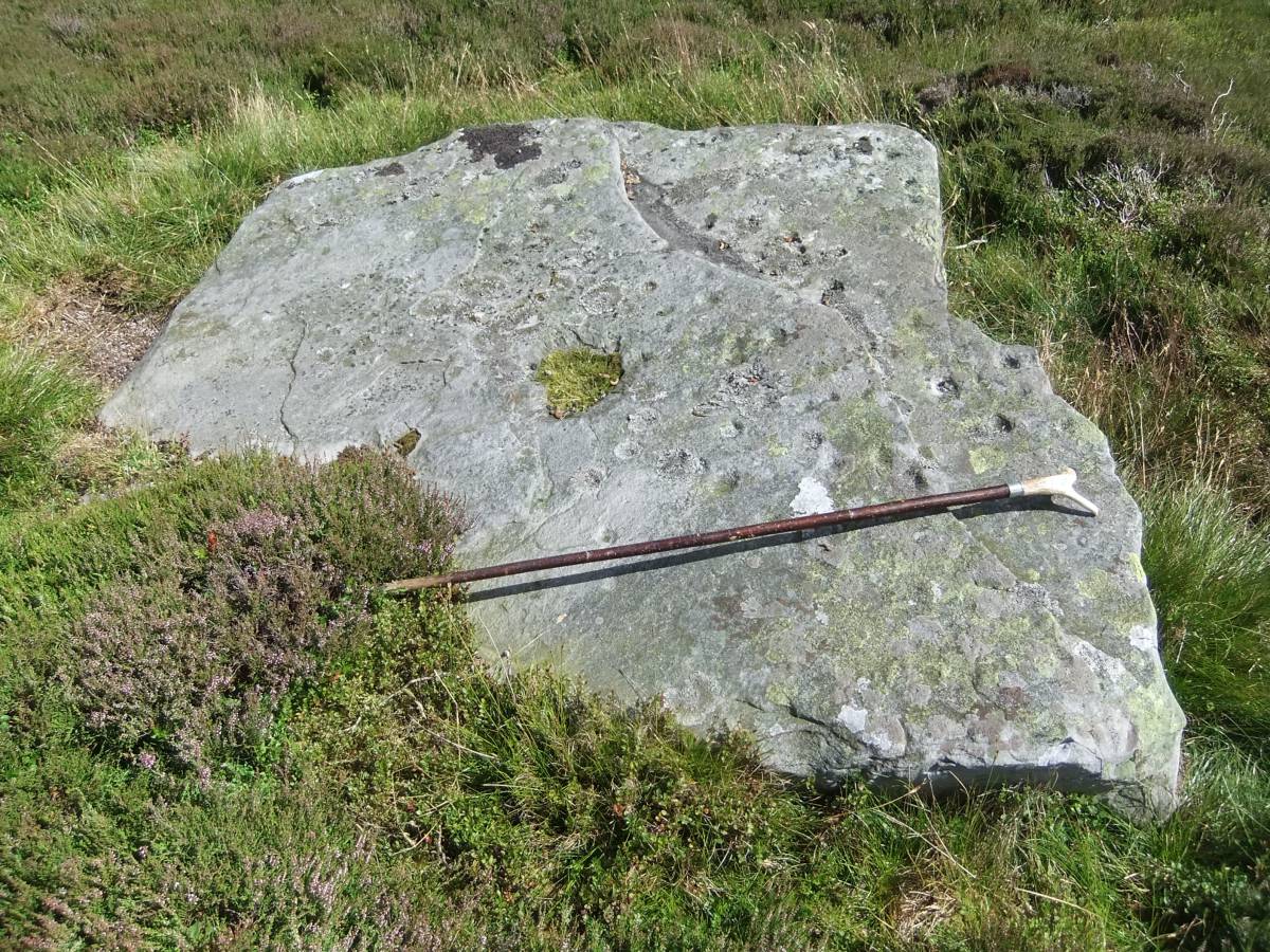
| Image 7 Description | Cup marked rock at Pinlow Hill and view southward to Spanham North Hill. | 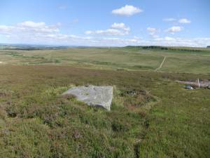 |
| Image 8 ID | 6831 Click image to enlarge |
| Image 8 Description | Cup marked rock at Pinlow Hill and view southward to Spanham North Hill. |  |
| Image 9 ID | 6832 Click image to enlarge |
| Image 9 Description | Detail of the multi cup marked rock. | 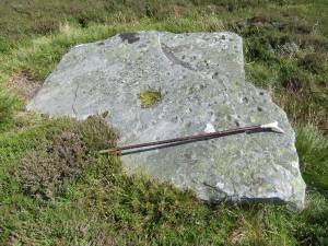 |
| Image 10 ID | 6829 Click image to enlarge |
| Image 10 Description | One of the two shrines at Ellerbeck under excavation in 1946 (Photo from 'Teesdale in Old Photographs' collected by The Late Dennis Coggins. Alan Sutton Publishing. The scholars presen include Mr T.Wake, Curator The Bowes Museum, Professor Ian Richmond, Mr F.G. Simpson and Mr R.P. Wright. | 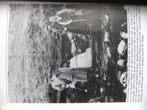 |
| Image 11 ID | 6837 Click image to enlarge |
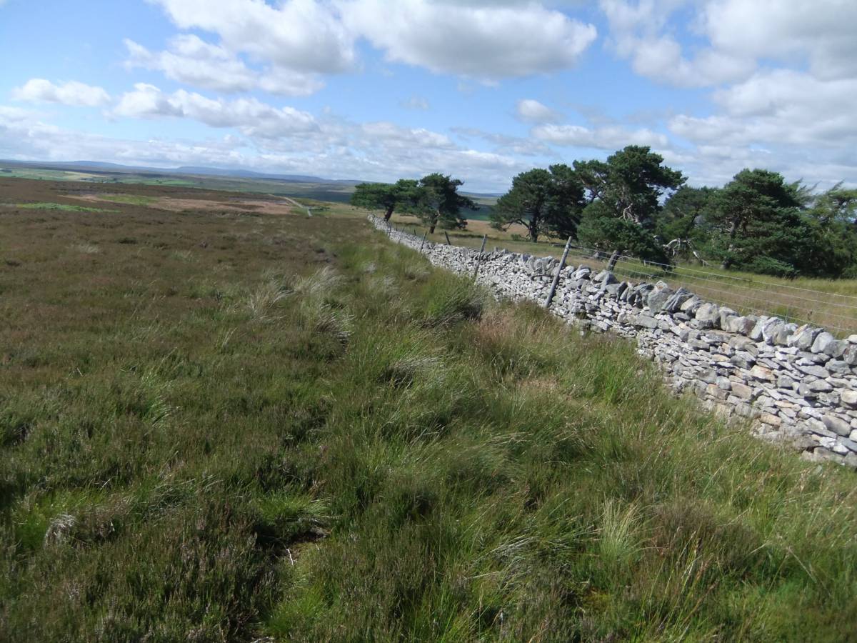
| Image 11 Description | The approach to Pinlow Hill and Ellerbeck follows this wall which passes Hong King Plantation. | 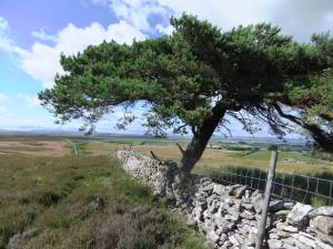 |
| Image 12 ID | 6840 Click image to enlarge |
| Image 12 Description | SWAAG Members during an earlier walk to the site of one of the two Roman Shrines at Ellerbeck dedicated to The God Vinotonus Sylvanus | 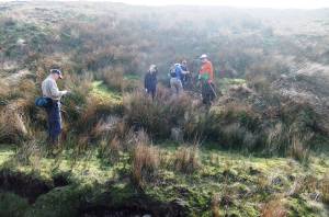 |
| Image 13 ID | 6839 Click image to enlarge |
| Image 13 Description | Peter at the Ellerbeck tributary stream above the Roman Shrines. | 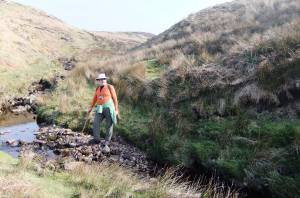 |
| Image 14 ID | 6838 Click image to enlarge |
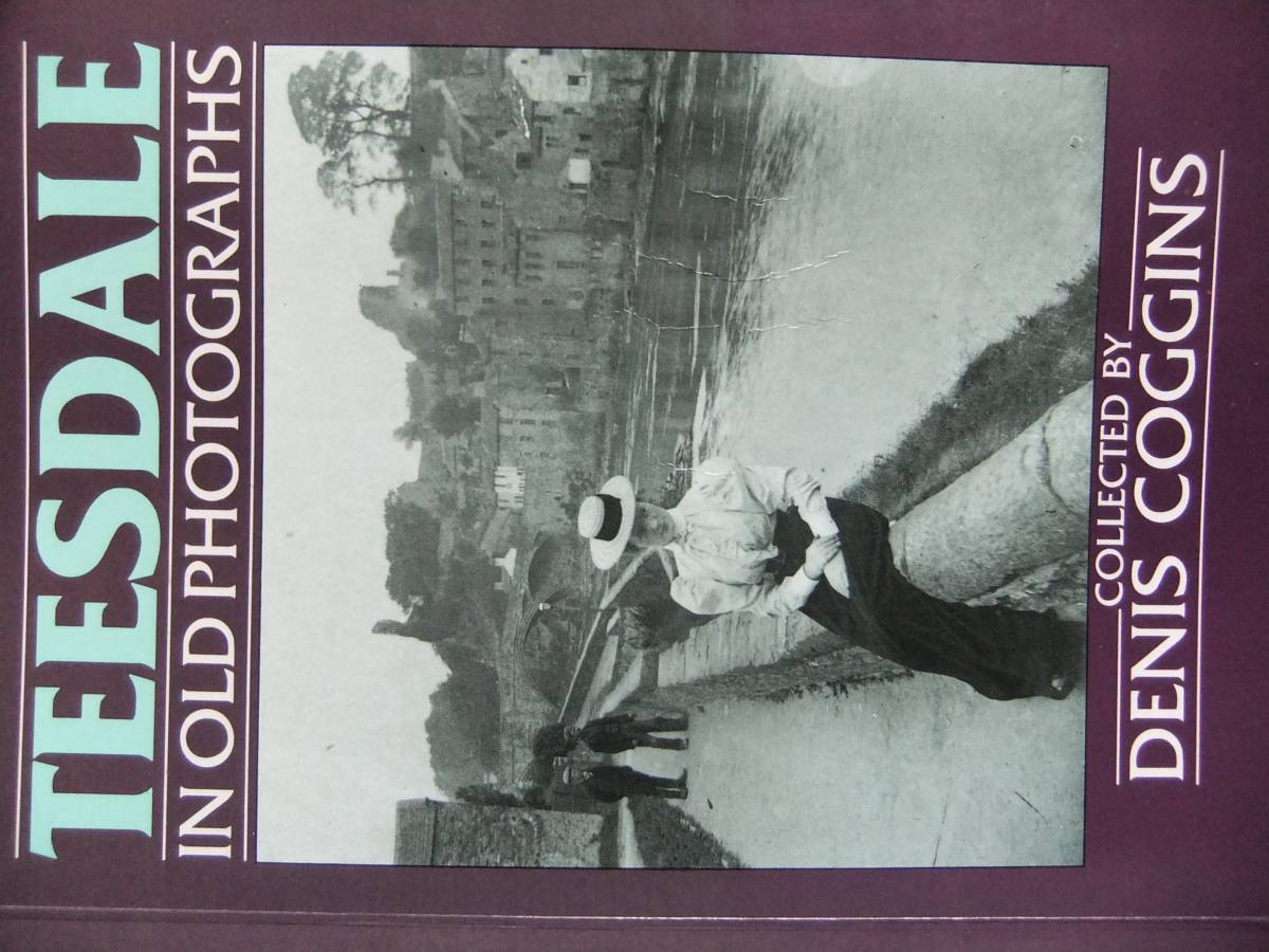
| Image 14 Description | 'Teesdale in Old Photographs.' by The Late Dennis Coggins. Highly recommended! | 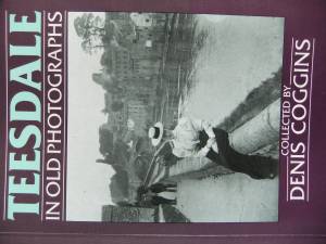 |